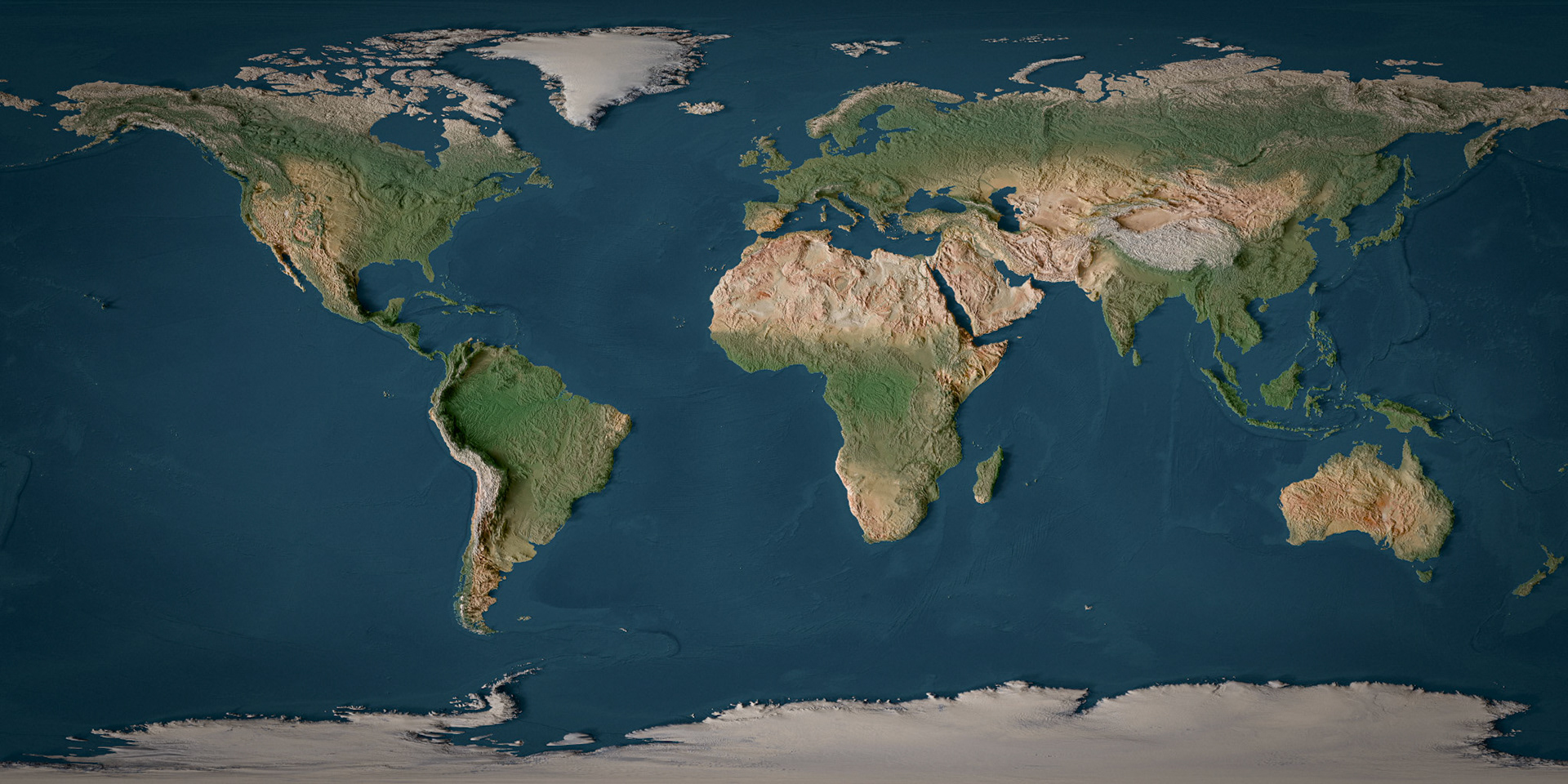
This particular map was made with Natural Earth and GEBCO data using QGIS, Blender, Photoshop and Lightroom
(and a lot of patience).
Copyright © 2026 Mykyta Osadchyi
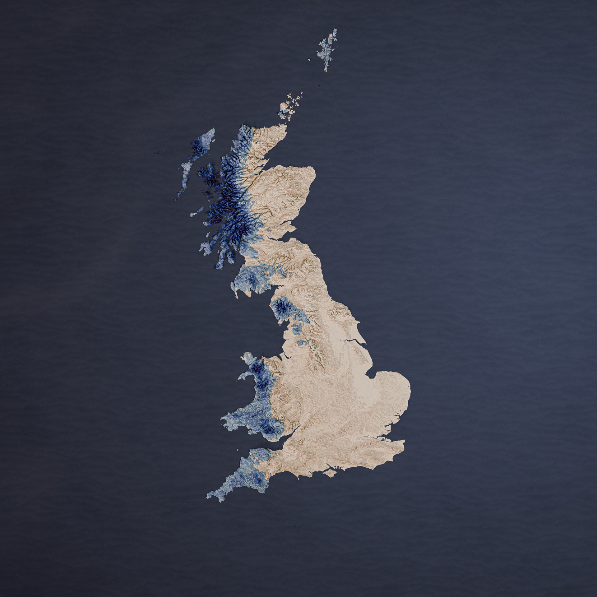
This map shows where the climate is suitable for temperate rainforests to form in Britain, based on the "Rainforest Zone" dataset.
The original shapefile was created for map.lostrainforestsofbritain.org using Met Office rainfall and temperature data (contains public sector information licensed under the Open Government Licence v3.0), clipped using Ordnance Survey data (contains OS data © Crown copyright and database right 2022).
My processing and design were done with QGIS, Photoshop, Blender, Lightroom, and 3-4 cups of coffee.
Map design and visualisation copyright © 2026 Mykyta Osadchyi. Underlying data remains subject to the licences above.